
Back to the start and some notes – From here there is just a short thirty-minute hike, south, down the Ozark Trail to get back to the trailhead. That’s it, trip over, though there’s still the two-hour drive home to complete.
Back to the start and some notes – From here there is just a short thirty-minute hike, south, down the Ozark Trail to get back to the trailhead. That’s it, trip over, though there’s still the two-hour drive home to complete.

Ready for the trail – Don’t come to me for outdoor fashion guidance. I hike to my own tune, and I like mixing my metaphors!

The view from my chair – Stereo image.
And very tall trees too.

Trees, trees, and more trees.

Lunch break, and I’m showing a bit too much thigh – I had a choice of routes to take today. The short route takes the North Fork Loop east back to the Ozark Trail, where I could get back to the trailhead. The longer route goes south, and into the Devil’s Backbone Wilderness, and returns to Highway CC via the McGarr Ridge Trail. One-minute read

Day Three – Back on the North Fork Loop Trail

Nothing but trees – Camped in Mark Twain National Forest, it was a wonderful morning in a rejuvenating spot.

Dappled.

Hammock Camping. +2

Breakfast comforts – A cup of tea and Mountain House South West Breakfast Skillet, followed by a cup of coffee, and all enjoyed from the comfort of my camp chair. I did a lot of staring into space, admiring the view, as the trees swayed, shining dappled sunlight while the breeze blew. I doubt this spot has seen a human visitor in many years.

Eight O’Clock and I’m finally camped for the night

Glimpse – A glimpse of the sky, and the river can just be seen through the leaves. +2

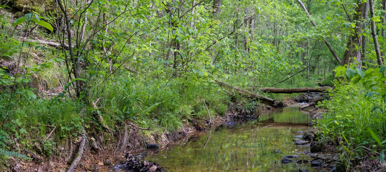
Steam Mill Creek Crossing – This is where the main North Fork Loop Trail crosses the creek in Steam Mill Hollow. One-minute read

Overhang, not very spectacular, but the sides of the hollow were impressively steep. It looked a bit too low and damp to make a good camping spot for anyone with a tent.

Spring on Steam Mill Hollow – closer inspection of the map showed that I’d missed this spring when planning my trip. It wasn’t a raging torrent, but it was putting out several gallons a minute.
Lunch break by the creek in Steam Mill Hollow. Not that I knew it was the creek in Steam Mill Hollow at the time. It seems I need to learn several more lessons in checking my compass and map before I assume I know where I am. 2 2

Nice Trail (but you may have trouble following it) – The map I was using was slightly under twenty years old (and the best I could find online). I should have cross-checked it against the trail map at the trailhead. If I had, I would have seen that the objective for my day’s hike was no longer on the trail system. One-minute read

Trail junction, there goes the Ozark Trail – Here I leave the Ozark Trail. +1
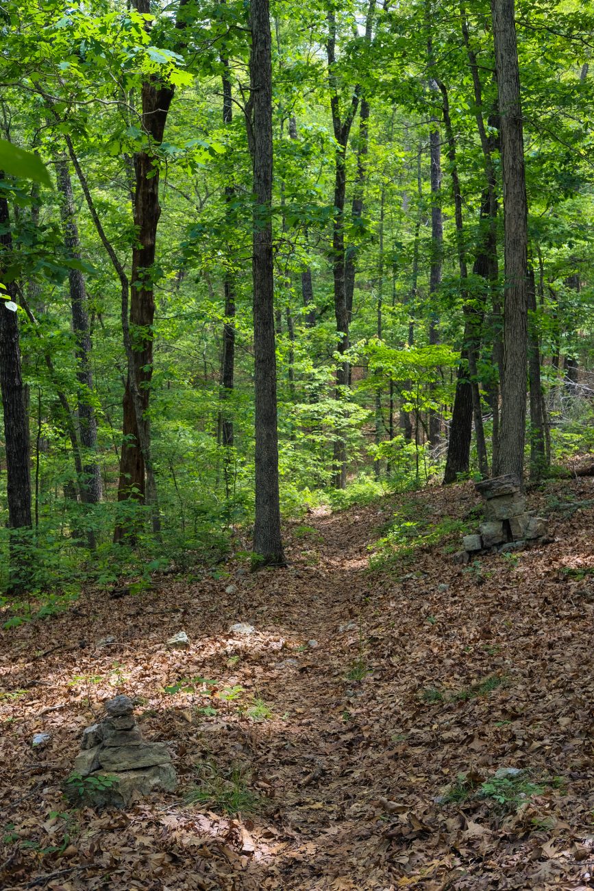
Cairns, cairns, and more cairns – there were lots in this area, but I couldn’t see any side trails or other blazes.

Dry creek bed – So much of my hope for finding water on the eastern side of the loop. +1

Loadsa trailblazes – From top to bottom: Ozark Trail, Ridge Runner Trail, North Fork Loop Trail.

Ozark Trail, trailblaze.
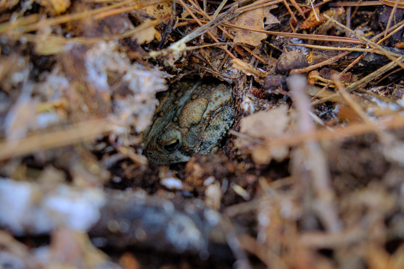
Ribbit, ribbit. Toad, in a hole.